Canyonlands National Park
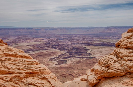
Canyonlands National Park is Utah’s largest park. It is divided into four districts, but we only saw one, Island in the Sky. That is the northernmost section, and it is a broad mesa bordered by the Green River on the west and the Colorado River on the east. These two photos are from the Green River Overlook.


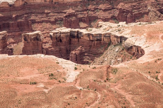
There is a White Rim in the canyons below the overlooks, which is sandstone. A ranger talk that we heard indicated that when this area was under water, sand was deposited along the rim and as the water receded, essentially a beach was left behind. If you look closely in the photo below, you can see a car approaching the whitest area in the foreground. Special permits allow cars to go into the canyon for exploration or camping. The day before we were going into the park, a shopowner showed us a special weather alert. The White Rim Road was going to be closed the next day because of the expectation of 3 feet of water in the area! We watched the weather forecast that night, but no rain was predicted. I inquired of a hiker whom I heard talking at breakfast. He was going into that area, and the water expectation was because of snow melt in the mountains. It was going to be 84 degrees that day. As you can see, the car was traveling in a totally dry area. Some bikers also went by on this path near the rim as I watched.
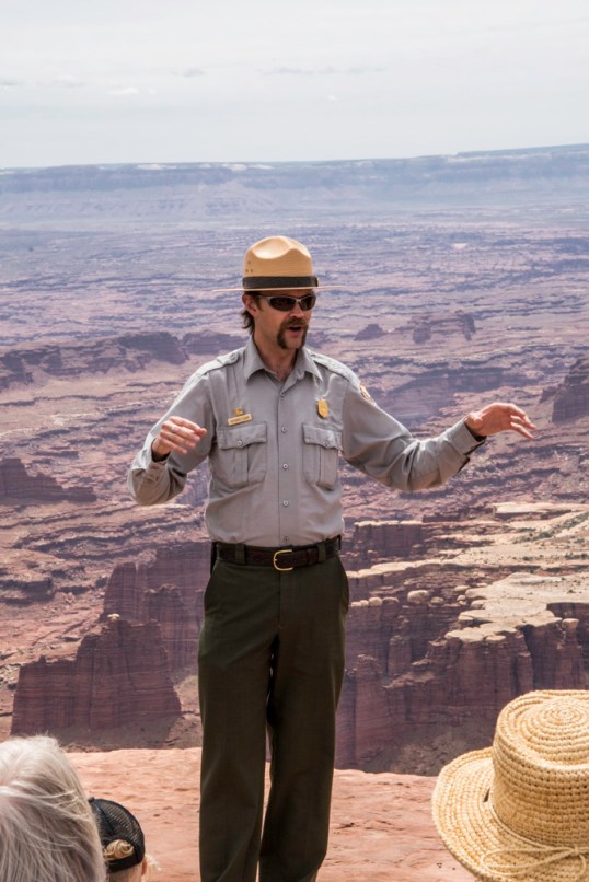
We heard a wonderful ranger talk about the geology of the park. It’s easy to see why this is called Canyonlands.

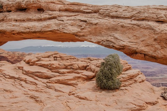
I walked out to Mesa Arch, which gives you a wonderful framed view of the La Sal Mountains in the distance. I also saw a variety of desert plants on the short hike to this arch. The arch was busy with photographers, both amateur and professional. As we jockeyed for position, one woman fell head first down a short, but steep cliff not far away. I think she had a few bruises, mostly to her ego. That could have been me in a heartbeat.