
Highland County Adventure
I went on a weekend trip to Highland County, Va in early June. I have been there before in late winter/early spring for the Maple Sugar Festival, and I have made brief trips into the county at other times. This is the first time that I have covered a lot of the county with my camera in hand. I have a lot of photos from different regions of the county, so I will have two or three posts on this blog to break it up and show you more of what I saw.
First, a little history. Highland County has the sixteenth highest average elevation among counties in the Eastern United States. It is bordered on the west by the Allegheny Mountains and on the east by the western border of the Shenandoah Valley and parts of the George Washington National Forest are contained in its borders. The headwaters of the James and Potomac Rivers are located in Highland, which has sometimes been called “Virginia’s Little Switzerland.”
Highland is the least populous county in Virginia and the 115th least populous county in the entire United States. As of the 2010 census, there were 2321 people in the county, and only a little more than 200 students in the school district, also the smallest in number in Virginia.
There are several stunningly beautiful regions of Highland County: Blue Grass Valley in the northwest area of the county, the Big Valley in the south, and the Bullpasture Mountain region, which was my home base on this trip. Monterey is the county seat, and the small village of McDowell has Civil War history.
I am going to start with Blue Grass Valley. I visited there twice over the weekend, and saw most of it in those two trips. Here are some images from that area of the county.
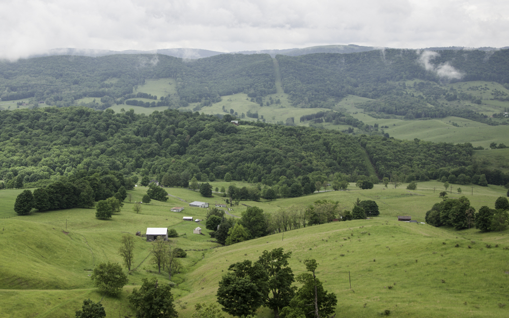
Blue Grass Valley as viewed from Hightown, west of Monterey.


Down in Blue Grass Valley with the Allegheny Mountains to the west.
In the town of Blue Grass, I found a very patriotic house.


Patriotism abounds on the other side of the house.


Pat, wonderful photos and glad you had a good time. Sue